The BQE Corridor Visioning Process is now complete.
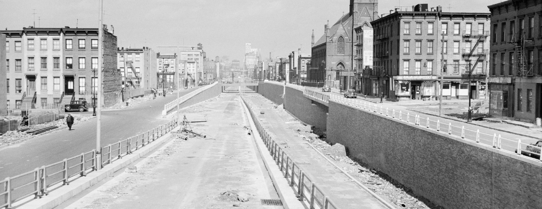
Built between 1937 and 1964, the BQE is Brooklyn’s only interstate highway and plays a major role in moving people and goods locally and regionally. Approximately 130,000 vehicles use the BQE daily – 13,000 of them trucks, making this a vital freight corridor.
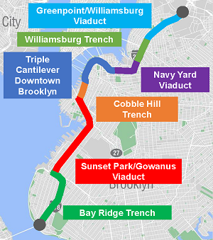 Both the City of New York and the State of New York own various sections of the BQE:
The City owns:
- 1.5 miles (12 percent) of the BQE in Brooklyn
- Atlantic Avenue to Sands Street, including the Triple Cantilever, in Brooklyn Heights
- Bridges and elevated highway through Downtown Brooklyn
The State owns:
- 10.6 miles (88 percent) of the BQE in Brooklyn
- Areas in north and south Brooklyn where the highway is below street level (trenches)
- Areas where the highway is on a structure above street level (viaducts)
The City and State will continue to collaborate as partners throughout the visioning and implementation processes.